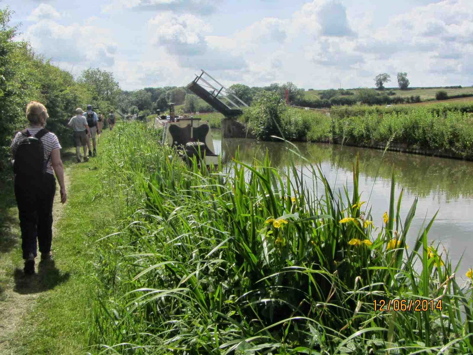
Thursday 12th
June 2014 Oxford Canal Walk Ramble 9
Banbury Centre
(Bridge 168) to Aynho Wharf, which is nearly 7 miles.
Margaret
B, Hugh, Peter, Julie, Margaret C, Jean, Dot, Sue, Jem and we set out from
Samuelson or Tramway Bridge (No168) and were soon walking through the outskirts
of Banbury into the lush and very green countryside.
For a
majority of this walk the M40 road, the Rugby to Oxford railway line and the
River Cherwell are all close by and they take turns to cross the canal. This southern
section of the canal, from Banbury to Oxford, was built slightly later and with
economy measures in mind. Investors had fallen away as the railways became the ‘way
to go ahead’. So, along here there are very deep locks with single gates, many
wooden lift bridges and a scheme where the river crosses the canal.
Banburyshire
was sunny and in the favourable conditions many flowers were blooming and insects
flying (butter burr, yellow flag irises, common valerian, meadowsweet and banded demoiselle
damselflies in abundance).
We saw
many boaters out enjoying a leisurely cruise with their dogs. After passing
under the M40 (rather noisy with lorries, sirens and the strimming gang working)
we carried on to Twyford Wharf and bridge. Once there was a brickworks here and
some associated kiln buildings remain on the caravan park, as it is now. Soon after
here the nearly 200 foot tall and slender spire of St. Peter and St. Paul church
at Kings Sutton came into view. Pevsner described this as ‘one of the finest,
if not the finest of spires, in a county of spires’.
After
another mile or so we stopped for our picnic lunch by Tarver’s Bridge and the
lock at Kings Sutton. Here Tarver ran a forge and the brick stable buildings
remain on the opposite side of the lock. We chatted to people aboard ‘Smile and wave’ making their way up through the lock while their cute, small dog longed
for a bite of a sandwich.
Kings
Sutton village is fortunate in having a railway station that serves Birmingham
and Marylebone, London.
 Starting
with a sharp right-hand, we followed round a large loop in the canal; along
here it is particularly rural and in places the towpath is quite narrow with
vegetation high on both sides.
At the end of the loop first we saw ‘The Pig
Place’, a smallholding with rare breed animals and a farm shop. If you fancy the good life it is for sale at
£500k.
Then, there is a winding hole and another deep lock. Next, is Nell’s bridge;
one of the oldest (1787) and narrowest bridges on the Oxford Canal. It is quite
hidden by the modern road bridge. We came up onto the B4100 road, as the
towpath crosses over to the other side of the canal at this point. There is
very little clearance for boats going into the lock and gauge markers are on
the side to help. When the River Cherwell is in full flood it is unsafe to use
the lock.
Next we
found ourselves walking over the River Cherwell upon a brick aqueduct at the
point where the water from the canal and river mix. The river crosses the canal
and weirs control the levels. Nearby is the
hexagonal-shaped Aynho Weir lock that is large enough for four boats. It has
only a shallow fall, of about 1 foot, but is designed to allow sufficient water
through to feed the much deeper lock at Somerton, three miles downstream.


No comments:
Post a Comment