Sunday, 19 January 2014

Saturday 18th January 2014 Oxford Canal Walk Ramble 1


Saturday 18th January 2014 Oxford Canal Walk Ramble 1

Starting from near to Hawkesbury Junction and walking  to Stretton-under-Fosse.

We started off from the same place as we did on Coventry Canal walk (9th January 2014), but this time walked in the opposite direction. In no time at all we were at Hawkesbury Junction, otherwise known as Sutton Stop (after the first lock keeper here). It is here that we negotiated a couple of fine cast iron bridges to get onto the Oxford Canal towpath proper. Boaters have to do a tight 'hairpin' bend manoeuvre if coming from the north to join the Oxford Canal or vice versa. There is a stop lock here as there is a 6 inch difference in height between the two canals. Also, we saw the disused steam engine house that once housed 'Lady Godiva', a Newcomen-type engine that pumped water from a well into the canal until 1913.


So, off we set along the Oxford Canal and appreciated the company of Sue, Jem, John, Julie, Dot, Margaret and Clive on this winter's day walk that was decidedly wet underfoot. We passed the signpost telling us it was 77 miles to Oxford and began to snake along this straightened stretch of narrow waterway that was once a busy trading route for transporting goods, particularly coal, from pits near here to London. Now it seemed in need of a little bit of TLC and we didn't see one boat on the move throughout the walk. We did see an interesting garden and had to avert our eyes as it seemed that someone was having a bath. Apparently the mannequins are dressed differently; sometimes as cowboys, other times as police.
For the first part of the walk others features clearly visible and audible  were the M6 (and later the M69) motorways, large pylons and substations. What once was very much a rural backwater is now on the outskirts of Coventry.
One of the dead-end spurs of canal left from straightening the very wiggly 'Brindley' contour canal in the 1820s and the building of the M6 is now used by the Coventry Cruising Club (others by narrowboat hire companies further along).
 Instead of hugging the 300' contour line around the hills the canal now goes across aqueducts and embankments have been built up. One of the embankments near here collapsed in 1963 spilling tons of sand and clay.
We walked into Ansty past a gaggle of geese and diverted from the canal a short distance to The Rose and Crown PH for our picnic lunch and a hot drink or two. Feeling refreshed we continued on, picking our way through deep muddy patches in places, but making good progress.

 We passed Ansty Hall, now a Macdonald 4 star hotel that looks down on the canal and went across Hopsgood Aqueduct, another newer straight part of the canal. At this point the London Euston to Birmingham mainline railway is very close to the canal on the opposite bank and
many Virgin pendolino type trains passed by.

Then it was under the M6 motorway and the end, with the Rose Narrowboats base, came into view.
We  ended the 7.75mile walk, then went to the local Farm Shop in Stretton-under-Fosse for a cuppa before making our way home.

Saturday, 11 January 2014

Thursday 9th January 2014 Coventry Canal walk from near Hawksbury Junction into Coventry centre.

Thursday 9th January 2014 Coventry Canal Ramble.

We, that is John, Julie, Linda, Margaret, Sue, Jem and us, walked along the Coventry Canal from near Hawkesbury Junction, the 5.5 miles to its end basin. Our walk finished  very close to the city centre, and as a prelude to walking the Oxford Canal we wanted to explore the Coventry area.
It was cloudy and chilly to start with but, during the walk, we had interludes of bright sunshine and no rain.  We went through many puddles along the towpath but none were too deep.
Early on we went under the M6, which wasn't noisy at all, and saw, on the opposite bank, the imposing, 32,000-seater Ricoh football stadium. This has had a short life with mixed fortunes. It did host a few Olympics football games in 2012 but, at present, Coventry City home matches are played at Sixfields Stadium, Northampton.
In the 1990s the whole length of our canal walk was developed into an outdoor art trail with over 26 pieces of sculpture as part of a regeneration scheme. We spotted many of these pieces, associated signs and information boards and even sat on one!
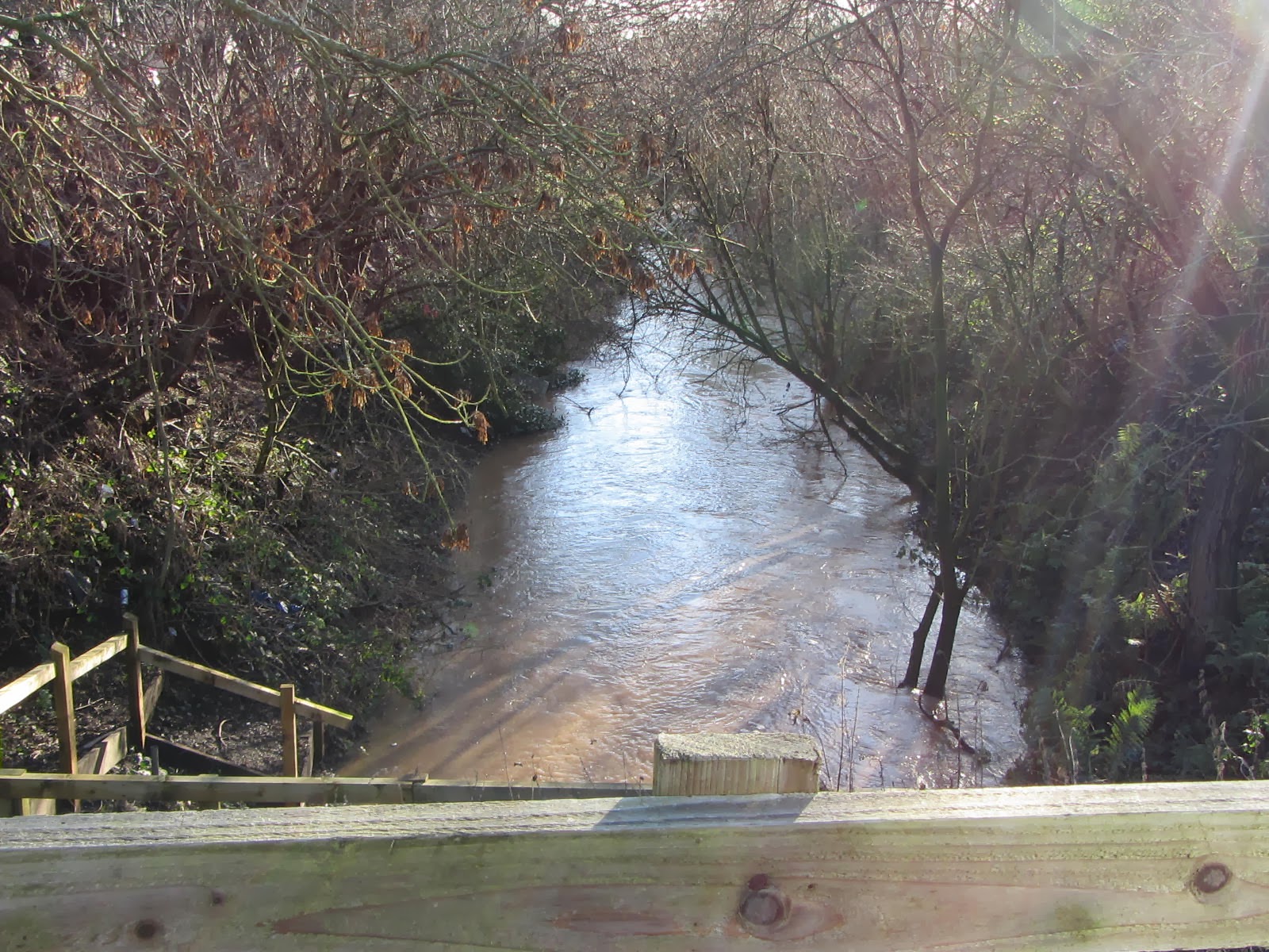
While going over  the aqueduct we noticed  the fast flow of the River Sowe, which meanders through Coventry before joining the River Avon at Stoneleigh, Warwickshire.
By some allotments it seemed that Santa hadn't got stuck up a chimney but up a tree. I hope that there weren't too many disappointed children.
Here was a little bit of green; mostly we saw evidence of Coventry's industrial past and the sprawl of urbanisation. Sadly, but realising we were seeing it at the worst time of the year, much of the canal and sides showed an unkempt appearance, bareness with rubbish and neglect.
It was here, on The Snake in the Grass by Lizzie Alageswaran and other artists, that we sat and ate our picnics.
A more rural scene when approaching another bend in this low budget 'contour' type canal without locks and on this day with very little in the way of traffic: one boat moving and a few swans and wildfowl.
We were intrigued by this building as tall, industrial at the upper level but more domestic lower down and with so many chimneys. Later we realised that they were the Cash's 'Topshops' built in 1857 for the silk ribbon weavers. Skilled workers were housed below the light, airy factory above and, the enlightened Quaker employers provided allotments, and a nearby park. The scheme wasn't fully finished. Some houses were hit by bombs during WW2, but the remaining buildings are listed and mostly flats. Cash's still make name tape ribbons, bookmarks and woven cards and are based on the outskirts of Coventry.
To commemorate Coventry's car industry, here is another artwork on the trail, Daimler Heritage Marker by Robert Crutchley. In 1897, close to here, the first car  factory in the UK started production. By the canal, there is a large area that has been cleared, awaiting development. Courtaulds the manufacturers of artificial silk, Rayon and other plastics and textiles including carbon fibre, also had a large base around here and it is hard to comprehend the scale of industrial operations there must have been at one time so close to the centre of the city.
This is Electric Wharf where there was once a very early, coal-powered power station serving the nearby industries and communities. The buildings have been converted into eco-houses and flats. Some industrial features i.e. steel girders, brickwork have been retained, old materials reused and there are green roofs, solar panels etc. Large letters are on the side of the buildings and apparently spell words such as 'Turbine', Edison' and 'Generator', but the only one easily recognisable was 'Depot'. A 4-bed townhouse sells for about £185k.

We passed another heritage marker artwork named The Journeyman by Stephen Hitchin.  It is intended to commemorate the anonymous canal builders, the many ‘navvies’ whose hard work created the canal in the eighteenth century with only picks, shovels and wheelbarrows. It is situated by the low, brick bridge that all boats have to negotiate if entering the terminal canal basin.
A statue of James Brindley by James Butler is within the Y-shaped Canal Basin. Brindley was an influential pioneer for the UK canal system but only worked on the Coventry Canal for a short time before getting the sack. We had a cuppa in one of the newer units created when the wharves and warehouses when re-developed in the 1990s. Several boats from Valley Cruises were moored nearby and we had a group photo taken by a helpful worker on a smoking break.

Next time, we will start from Hawkesbury Junction and  walk along the Oxford Canal towards Oxford and the River Thames. So, by the end of June we hope to say that we have completed, in sections, towpath rambling between Coventry and Oxford.

Friday, 13 September 2013

Saturday 7th September 2013 Ramble 23: Olton, Bridge No. 84 to Gas Street Basin, Birmingham.


Saturday 7th September 2013
Ramble 23:  Olton, Bridge No. 84 to Gas Street Basin, Birmingham. 

We set off along the towpath with John, Julie, Sue, Jem, Hugh and Margaret, all in good spirits and aiming to cover the eight or so miles to Gas Street Basin.    We were especially glad that the weather had improved from yesterday for this, the last leg of the Grand Union Canal walk, having started from Little Venice, near Paddington, London in March 2012.


To start with, the canal looked nice in dappled sunlight with greenery all around. Surprisingly, there were many wild flowers too.


 Gradually, as we walked further on into areas such as Tyseley, Small Heath and Bordesley, the surrounding areas, with their history of industrialisation and subsequent decline, was one of increasing dereliction and neglect. Mostly, there was a strange quiet emptiness with few people, boats or wildfowl around. Many large buildings were empty and bricked up; some were burned out, much graffiti and weeds growing through them.


We stopped for picnic lunch by the first of the five narrow Camp Hill locks. Nearby, a party of volunteers were sprucing up the lock gate arms with some new paint. We sat and watched and chatted. Once refreshed we continued on, taking the Digbeth Branch canal at Bordlesley Junction. 

We went past the stop lock and toll house by the old Geest banana warehouses at Warwick Bar and over the river Rea aqueduct. Looking down here we saw Japanese Knotweed flowering and much rubbish. 
The whole area is a conservation area and part of the Eastside regeneration scheme due for redevelopment.
After seeing the Typhoo Basin going off to our left we went through Curzon Street tunnel that passes under mainline railway lines.
 Around here the remains of the Co-op Furniture factory dominate the scene one side of the canal.  As a listed building, it was due to be part of the re-development plans, but in 2007 three-quarters of the factory was destroyed by fire and a week later further damage was caused by high winds. Now what is left stands surrounded by fencing and plans for it seem unclear.
At Aston Junction (with Birmingham and Fazeley Canal) we turned westwards towards the centre of Birmingham.
 There seemed to be more activity around Aston Science Park and University areas, certainly there was more brightly coloured fencing and newly laid grass, but few people.
 The surrounding buildings loomed higher and higher along here, until the canal seemed small and closed in, in comparison. So small at one point that it actually goes under the 1970s decommissioned BT Brindley House telephone exchange tower block. Now there are luxury apartments in this 17 floors high block, above the stilts surrounding the canal, locks and side pounds.

The towpath twists and turns along here by the 13 Farmers Bridge Locks; uneven in places with old brick features, which is quite a contrast with the surrounding blocks of new flats.


John spotted the spanking new library between other buildings. Opened just a few days before, we gathered that the £190m library is already a big hit with people and could see some exploring the secret garden on the outside of the 7th level!


The toll office built in 1783 remains by Cambrian Wharf and a little further on at Old Turn we crossed the bridge to the last stretch of towpath before Gas Street Basin.


Along here it was very busy with people walking, shopping, whiling away time in cafes, restaurants, bandspeople spilling out of the Symphony Hall entrance for group photos, boats taking wedding reception guests along, etc ,etc. It took us a while to make our way through, under Broad Street Bridge and on into Gas Street basin. Again, there is the contrast of new and old here with the landmark Cube building (apartments, offices and rooftop restaurants) dwarfing the centuries old canal and industrial buildings. We took our group photos and made our way to the recently opened Pickled Pig coffee bar for a drink. We were told the building was once a farmhouse (!), then offices and warehouse for a business dealing with marble and more recently used as TV studios before conversion to a restaurant.
We were very pleased to finish this series of Grand Union Canal walks and they were even more enjoyable by the good company of our many companions along the way. We have many happy memories. We now look forward to starting the Oxford Canal walks in early 2014.

Wednesday, 11 September 2013

Friday 6th September 2013 Ramble 22: Kingswood Bridge (Bridge No. 65) to Olton (Bridge No. 84)


Friday 6th September 2013
Ramble 22:  Kingswood Bridge (Bridge No. 65) to Olton (Bridge No. 84).
We set off again along the towpath with John, Julie, Peter, Sue, Hugh, Margaret, Sue and Jem.  This time the weather was not so kind to us and the towpath was wet and slippery in places. The wet conditions hadn’t stopped the mower man cutting the grass along the towpath, but the wet cuttings stuck onto to the canal boat sides causing hands with small brushes to reach out from under tarpaulins to clean them off!


We had the canal pretty much to ourselves; very few people were out walking and hardly any boats were moving.  Everywhere looked very green; leaves and pots were shiny with rainwater on them.
For several weeks before now the weather had been sunny and warm, but today it was markedly cooler and wet. It caused a slight mist or haze above the water and the reflections in the water were beautiful, especially of boats and bridges.

We kept up a good pace in the light rain. Sometimes it didn’t rain and the umbrellas came down but mostly it was steady, gentle rain. 

After passing the Black Boy Pub we saw the Black Buoy Cruising Club with a boat in the slipway (for repairs perhaps). 
 
 
In 1974 the club site was split by the ‘new’ county boundary which is down the centre of the canal at this point. The clubhouse is in Warwickshire, whereas other parts are in the Metropolitian Borough of Solihull, part of the West Midlands county. 


The Heronfield Animal Centre seemed to be providing some nice conditions for rescued goats, chickens, pigs and alpacas alongside the canal as we approached Bridge No 70 where the Warwick Road passes over. 

A little further on are the series of five Knowle Locks and by the bottom lock a canal boat was turning around (the first boat we had seen moving for some time). As it wasn’t raining at this point we decided to break for a picnic and while sitting beside one of the side ponds, watched some gulls squabbling. 

Soon we were pressing on and made good progress (we all had trains to catch afterwards, some of us to local accomodation and some were going back home). It was really quiet and countrified along here with many sections of cuttings, green with overhanging trees. 


In the distance we heard the drone of traffic noise which gradually became louder and eventually we passed under the M42 Barston Lane motorway bridge. We had been seeing herons standing beside the canal in front of us that flew off as we approached.  Then we thought that perhaps it was just one heron we saw several times, but by the motorway bridge we definitely saw a different heron that was much darker in colour fly off.

After the canal passes over the River Blythe via a small aqueduct and a couple more turns we went through the village of Catherine De Barnes, known locally as Catney Barnes, often abbreviated to Catney. It is from this point onwards that the area beyond the canal corridor becomes very built up, as it enters the outskirts of Birmingham.


To us just by the canal, it still appeared mostly very green and tranquil, especially in the cuttings. In some places gardens had been extended with staircases down banks to improvised landing stages constructed from scaffolding. Ducks seemed to enjoy using these.
We completed the walk by the canal, estimated to be between 9 and 10 miles, by mid-afternoon and went off in search of a nice drink and Olton Railway Station.